Log in
All resources
Create a design
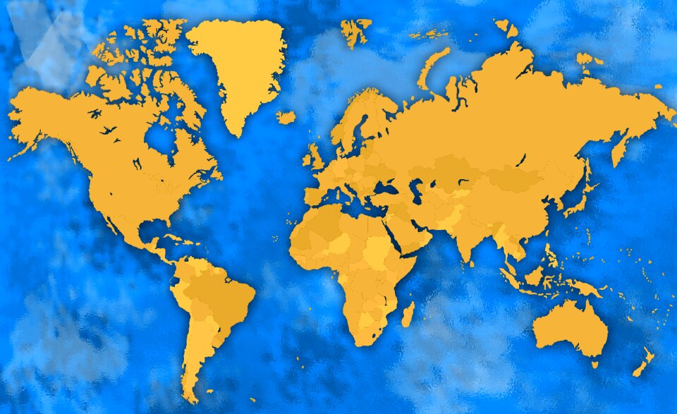
571 Free Images of Maps Of North America
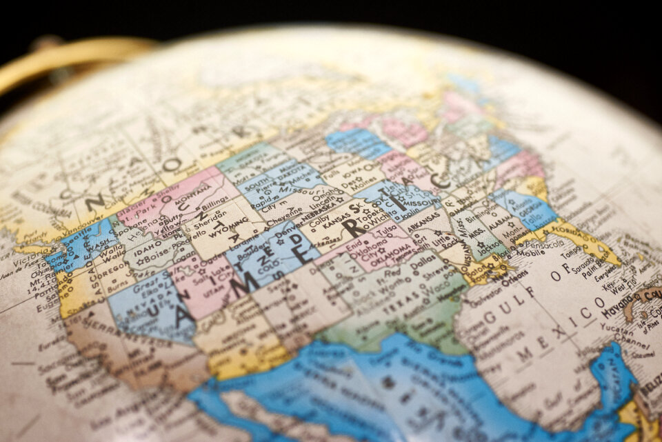
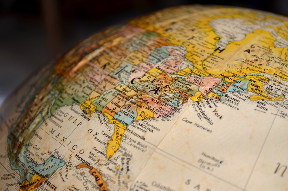
maps in the library of congress
continent
earth
geography
usa
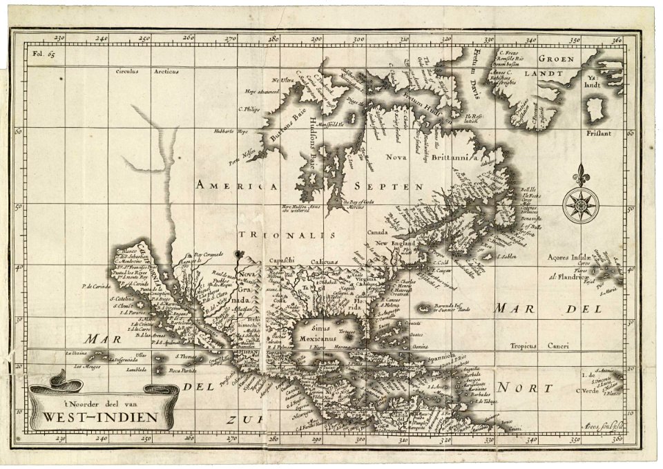
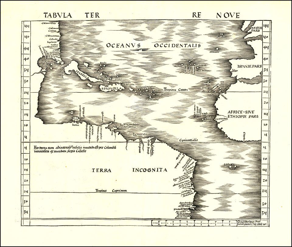
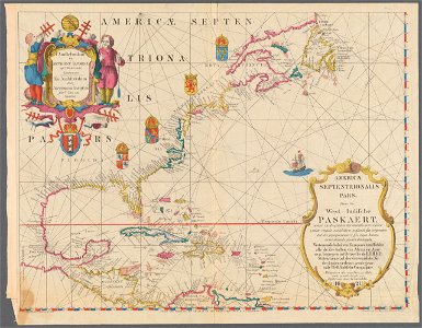
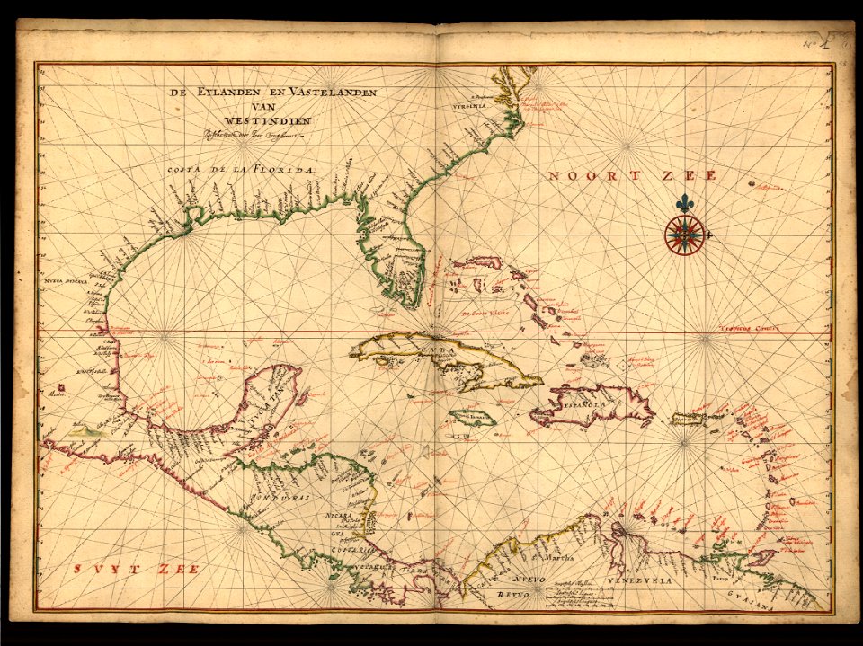
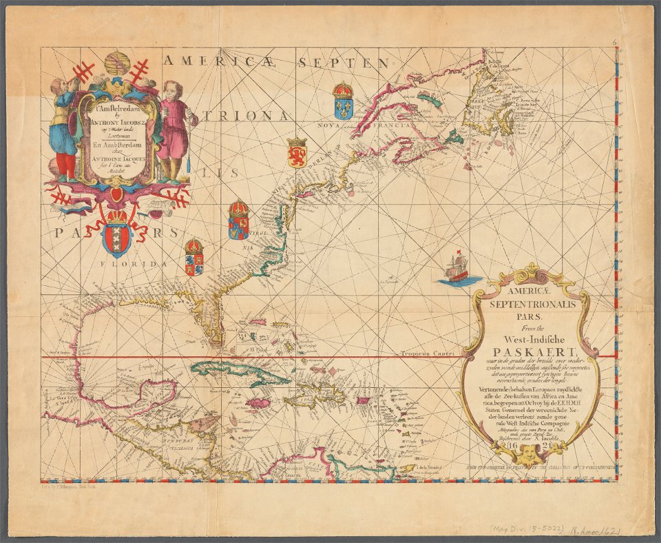
maps of the west-indische compagnie
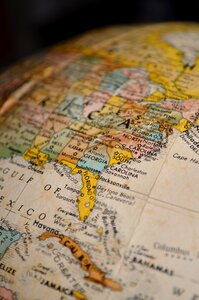
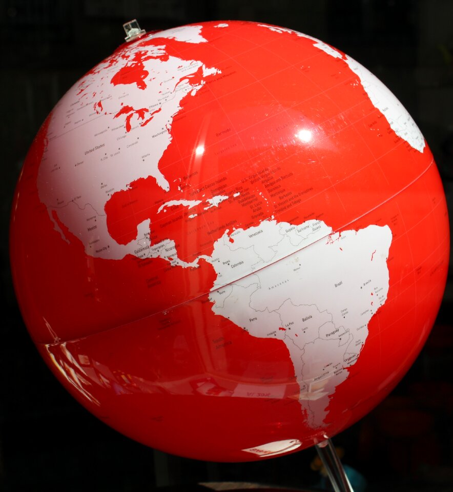
globe
retro
vintage
south america
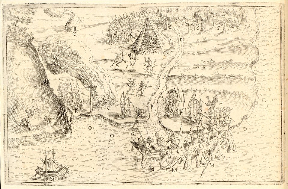
overwintering on nova zembla by willem barentsz, 1596-1597
maps in the rijksmuseum amsterdam
background
maps
background
maps
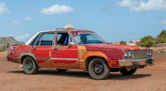
vehicle
car
maps
usa
continent
maps
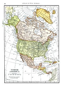
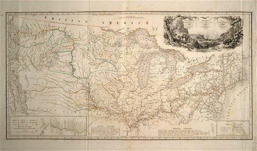
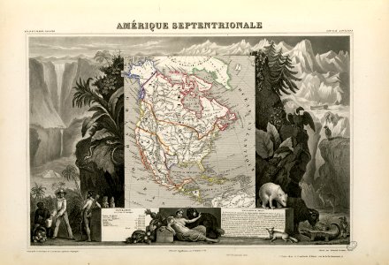
1909 maps of north america
old maps of north america
maps of del norte county, california
1866 maps of california
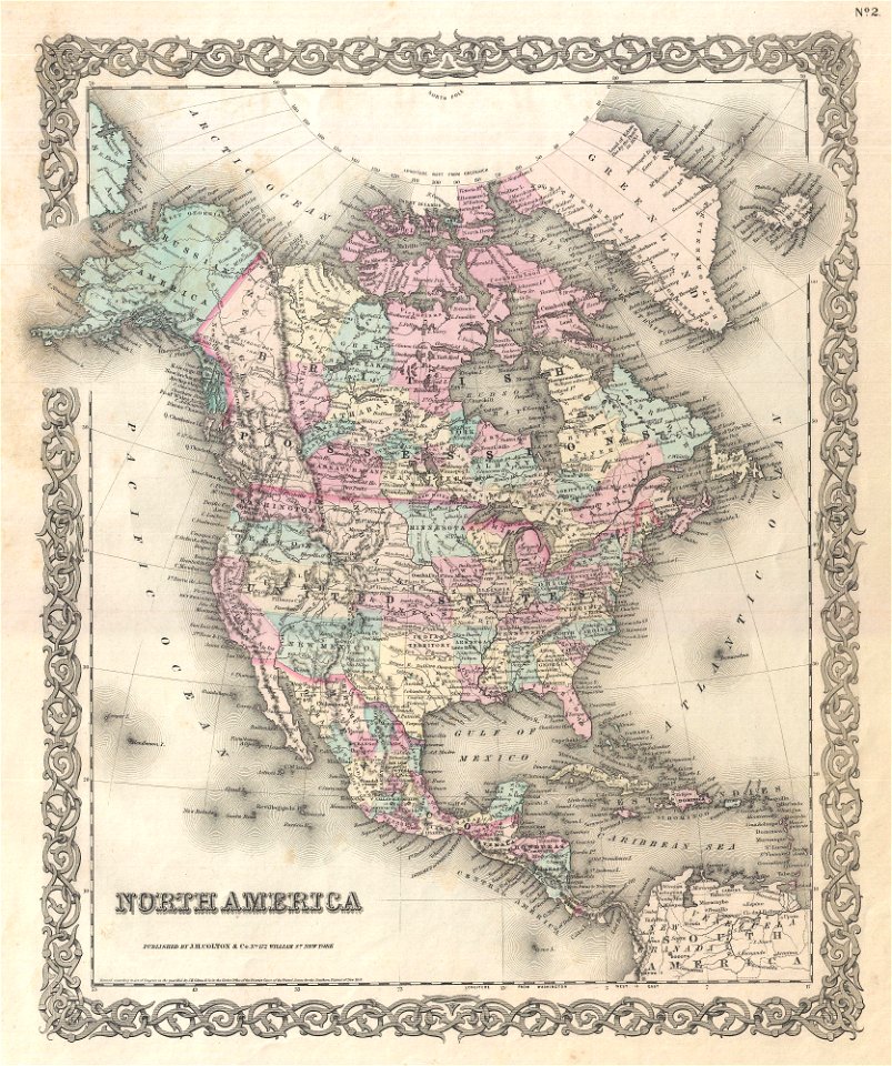
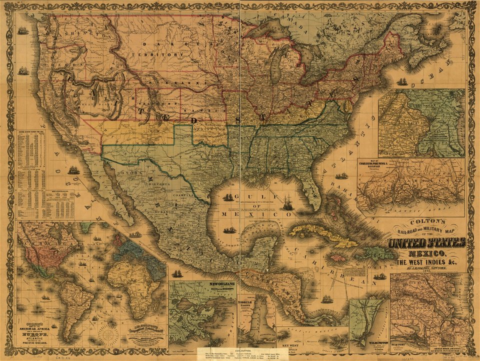
maps by joseph hutchins colton
1855 maps of north america
old maps of north america
1843 maps
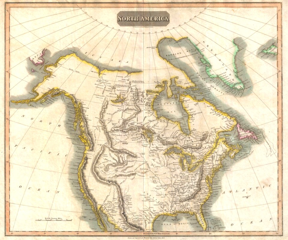
1814 maps of north america
maps by john thomson
maps of the west-indische compagnie
abraham goos
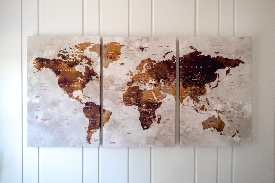
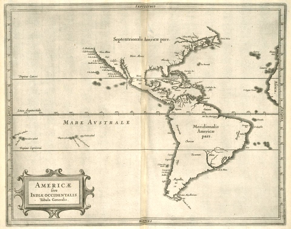
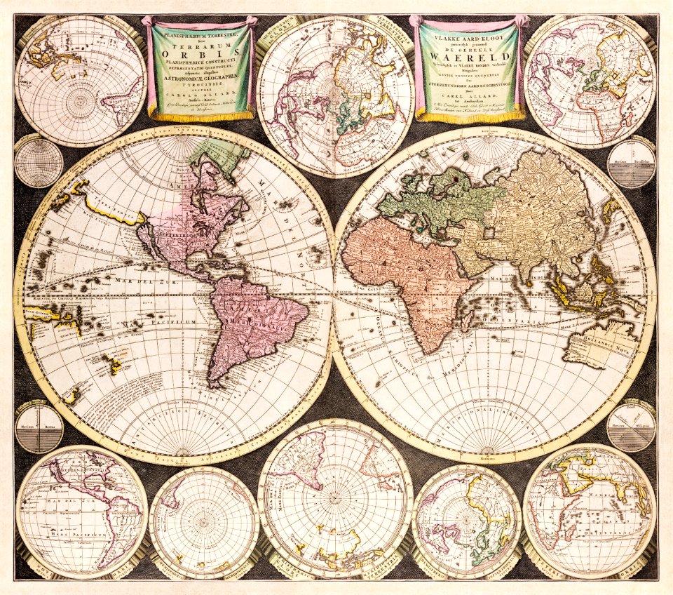
world
map
francis d'avignon
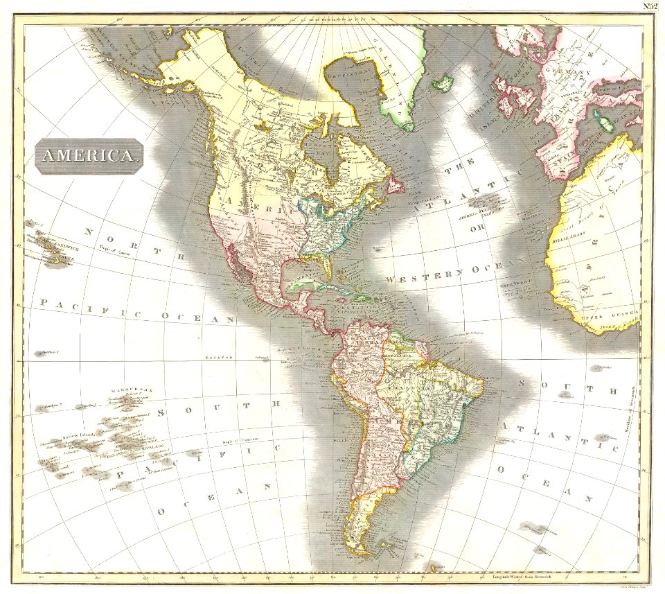
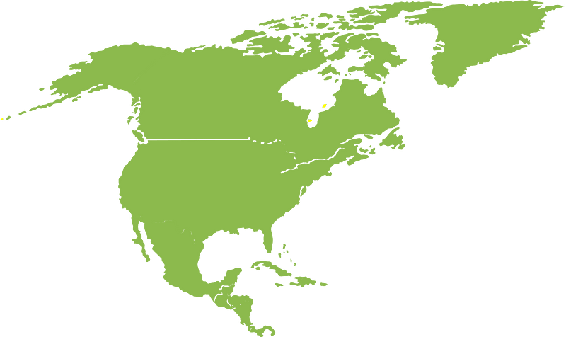
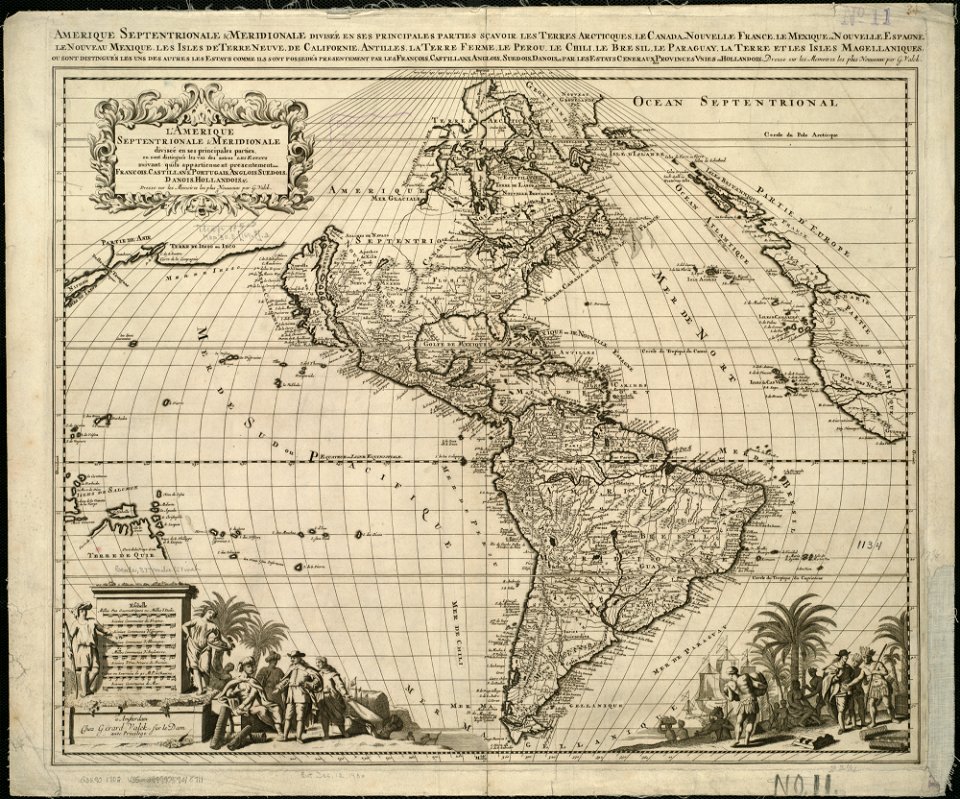
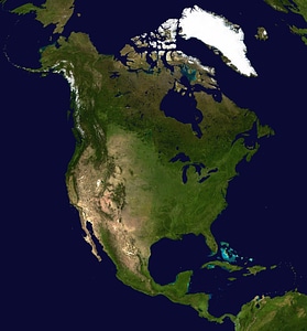
north america
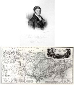
travels in the interior of north america
during the years 1832–1834
globe
maps
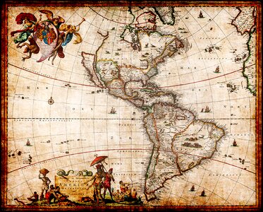
18th-century maps of the americas
maps by homannsche erben
19th-century maps of the americas
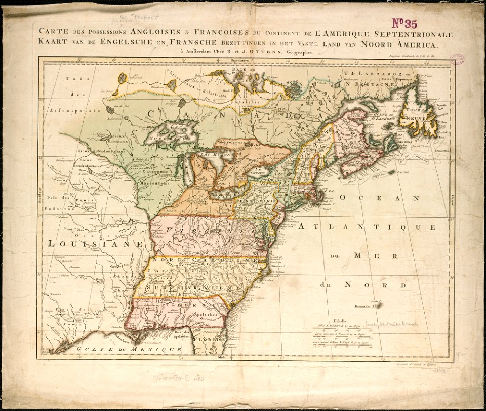
english-language maps
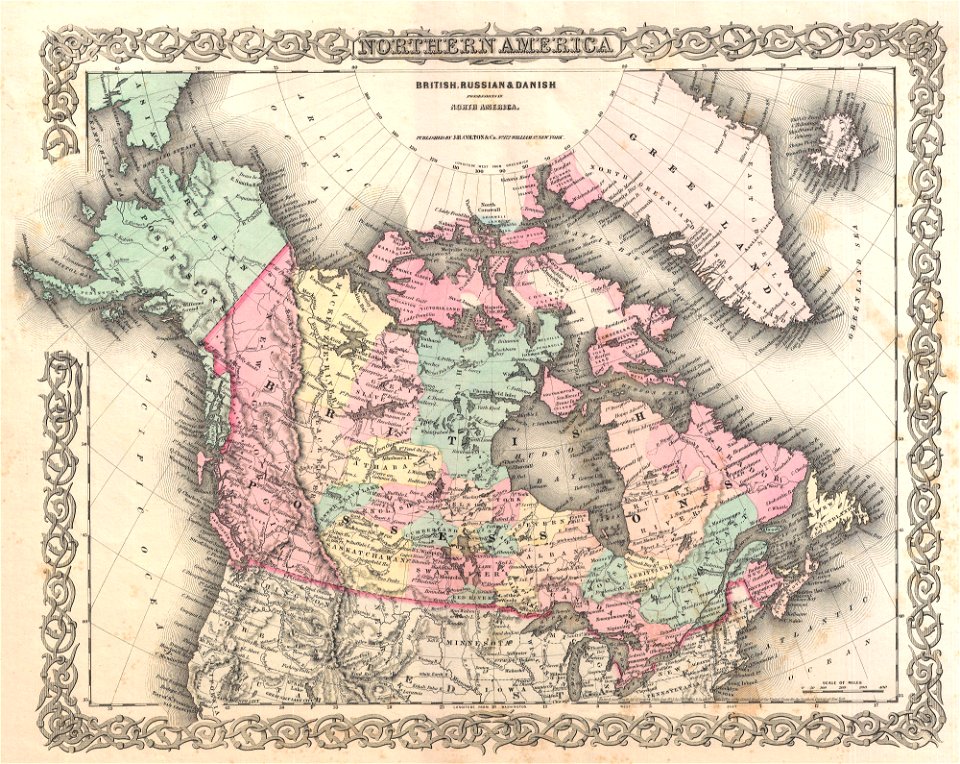
old maps of canada
province of canada
continent
maps
globe
maps
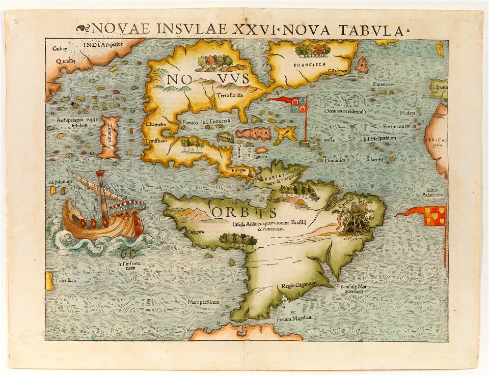
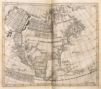
16th-century maps of the americas
maps by martin waldseemüller
maps
flag
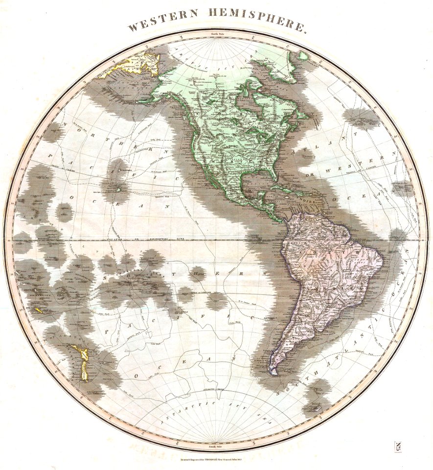
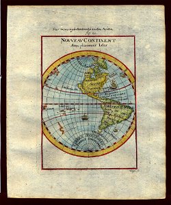
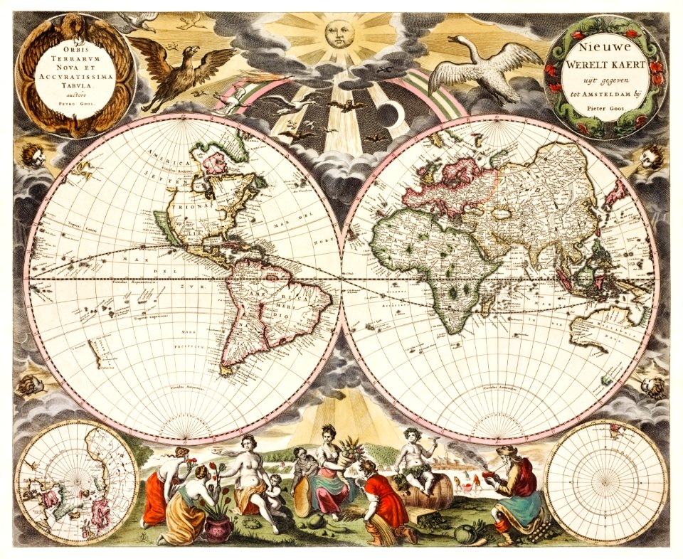
old maps of earth's hemispheres
maps of voyages
old maps of north america
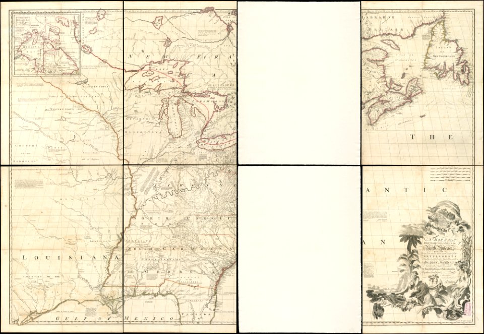
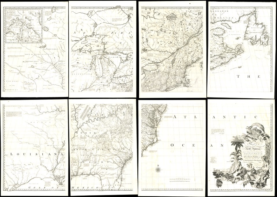
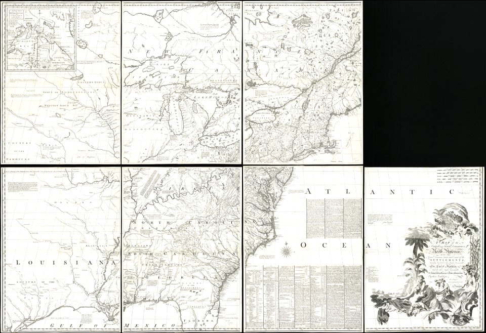
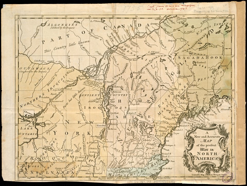
1755 mitchell map
old maps of north america
1755 mitchell map
18th-century maps of north america
1794 maps
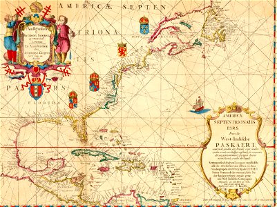
maps of the west-indische compagnie
1770s
old maps of north america
1755 mitchell map
description de l'universe
1710s maps of the world
francis d'avignon
george hayward
maps
usa
francis d'avignon
george hayward
maps of the west-indische compagnie
1630
maps of the west-indische compagnie
1681
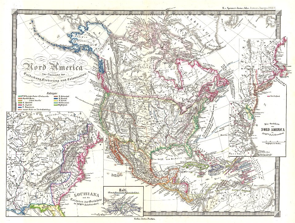
karl spruner von merz
1855 maps
maps of the west-indische compagnie
1705
maps of the west-indische compagnie
1682)
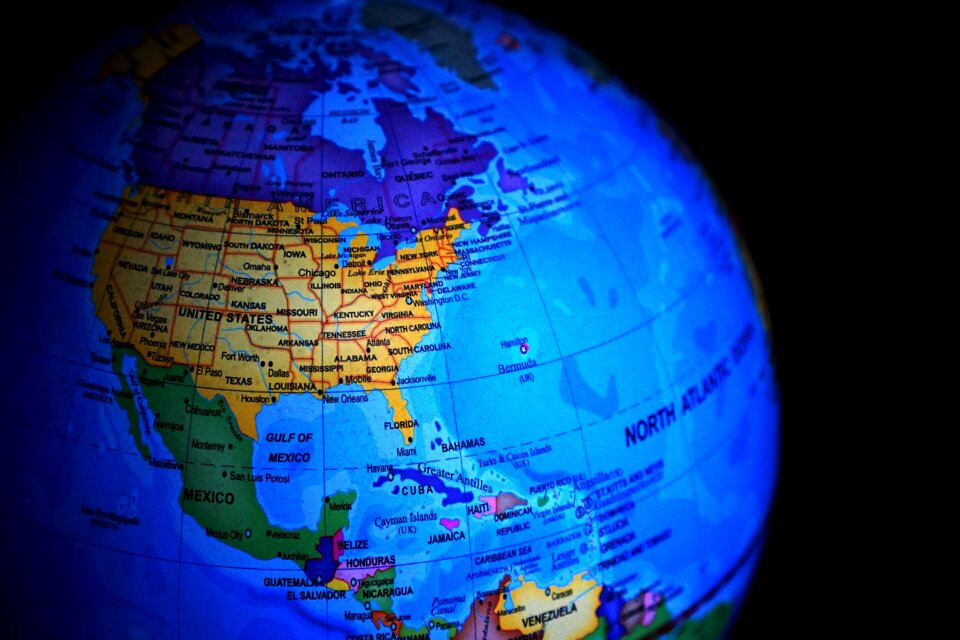
planet
maps
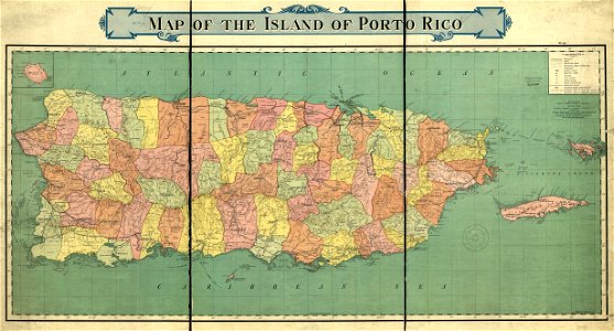
old maps of puerto rico
rand mcnally
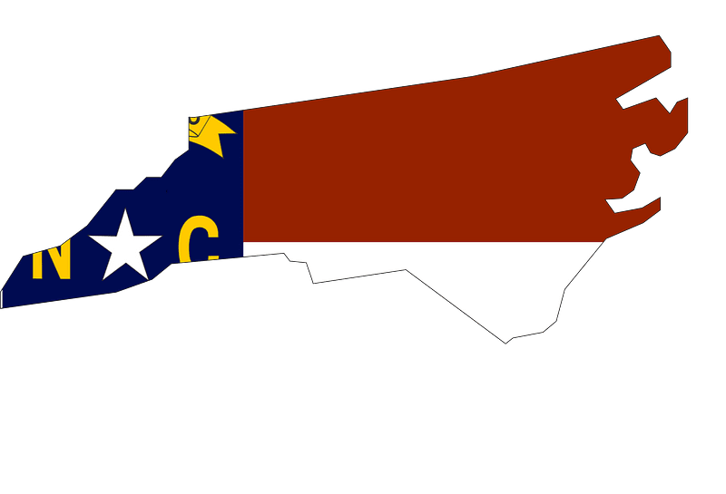
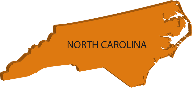
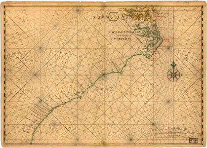
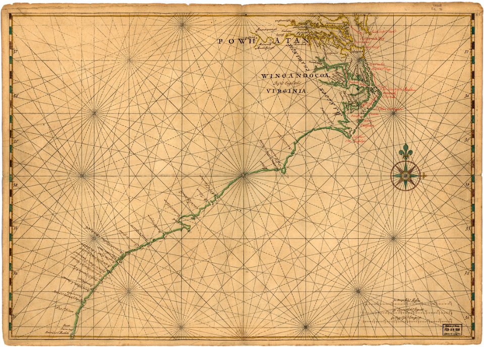
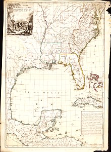
18th-century maps of north carolina
north carolina
maps of the west-indische compagnie
1705
maps in the library of congress
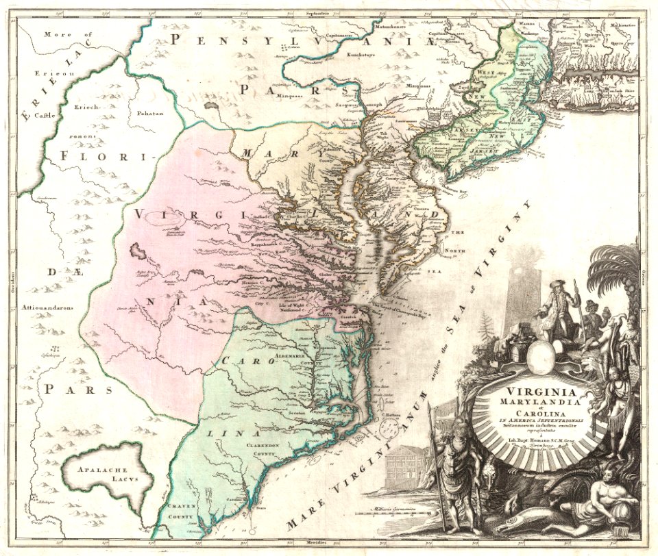
old maps of maryland
maps
book
maps
book
maps
book
maps
book
maps
book
maps in the library of congress
old maps of maryland
continent
maps
maps in the library of congress
1639 maps of north america
1805 maps of the united states
maps by john cary
maps in the library of congress
1639 maps of north america
maps
city
maps in the library of congress
johannes vingboons
maps in the library of congress
johannes vingboons
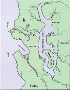
drainage basin maps of north america
lake washington ship canal
maps of the west-indische compagnie
1780
paintings in the huntington library
vallard atlas
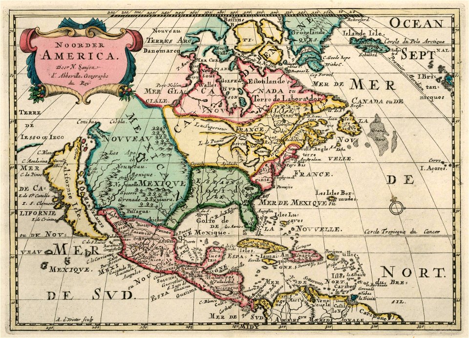
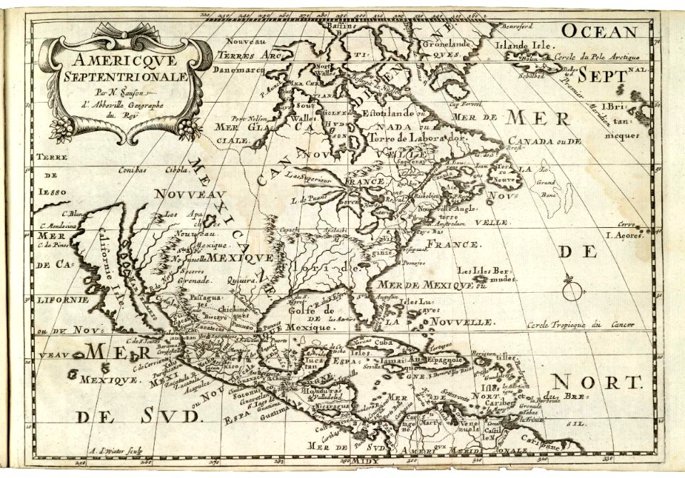
maps by nicolas sanson
northern michigan
maps in the library of congress
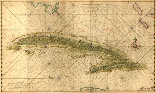
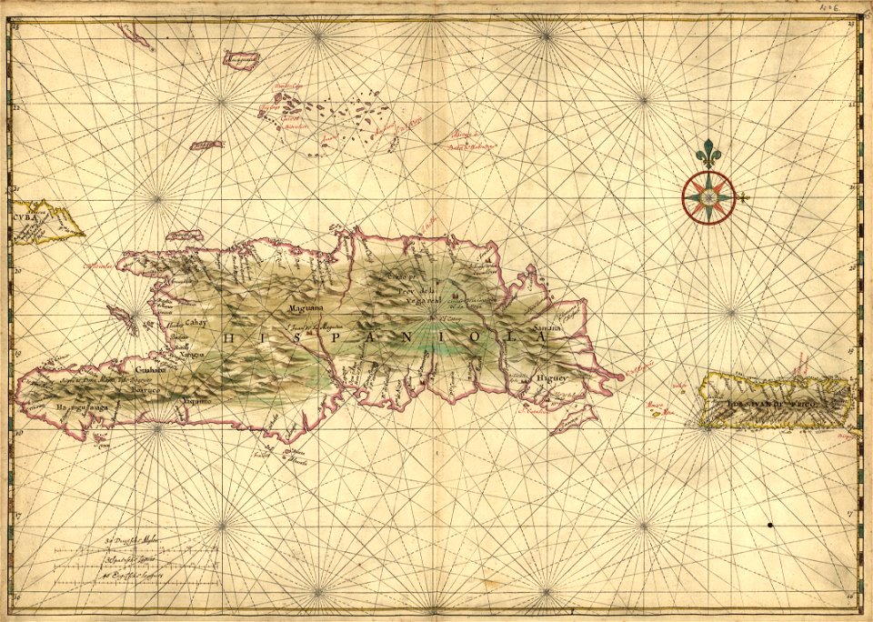
17th-century maps of hispaniola
maps in the library of congress
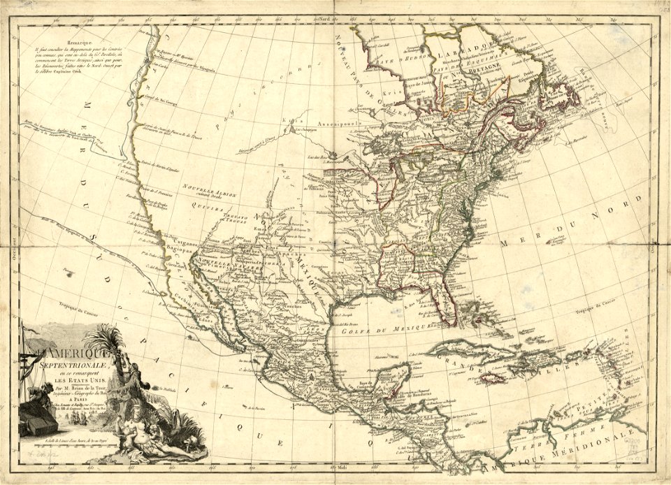
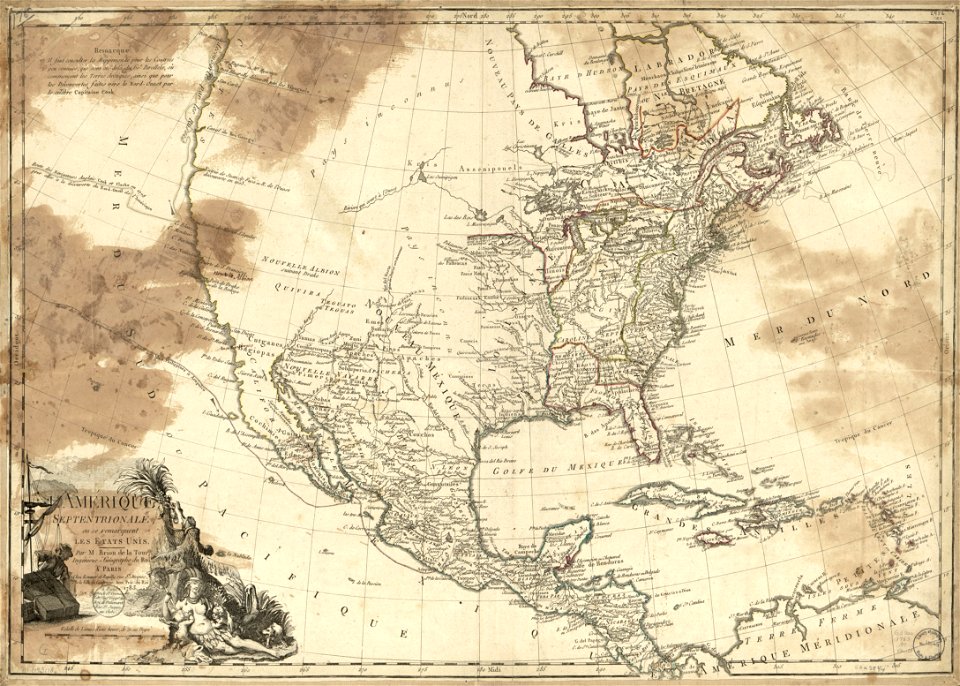
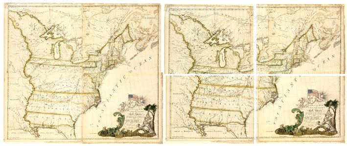
1783 maps of north america
west-indische compagnie
1671
christopher columbus
ferdinand magellan
maps in the library of congress
1783 maps of north america
maps in the library of congress
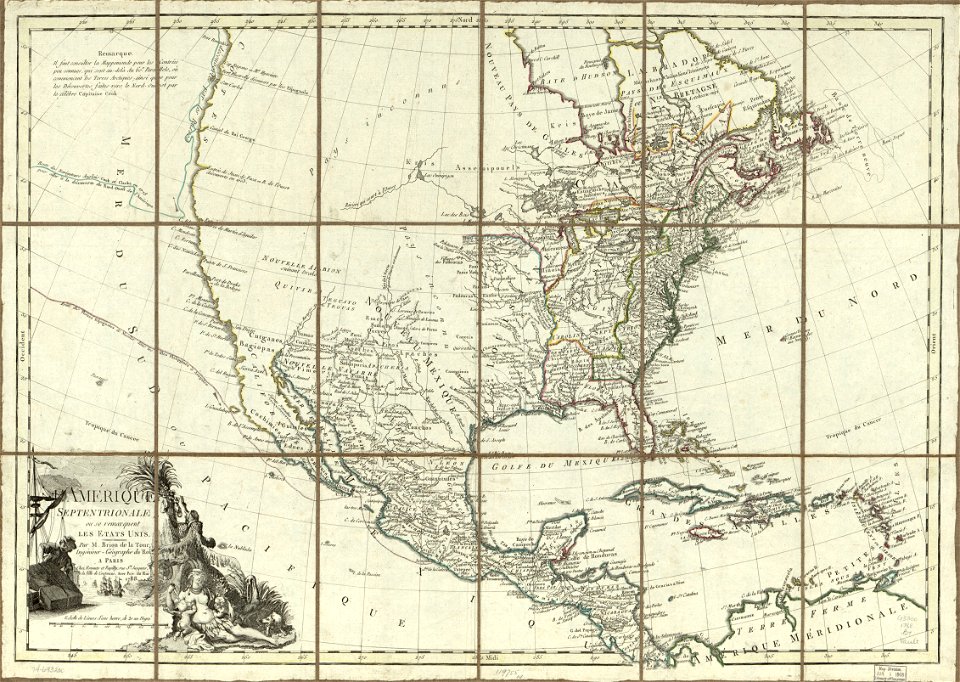
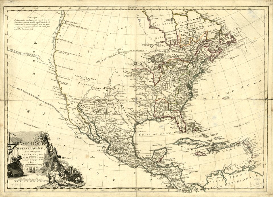
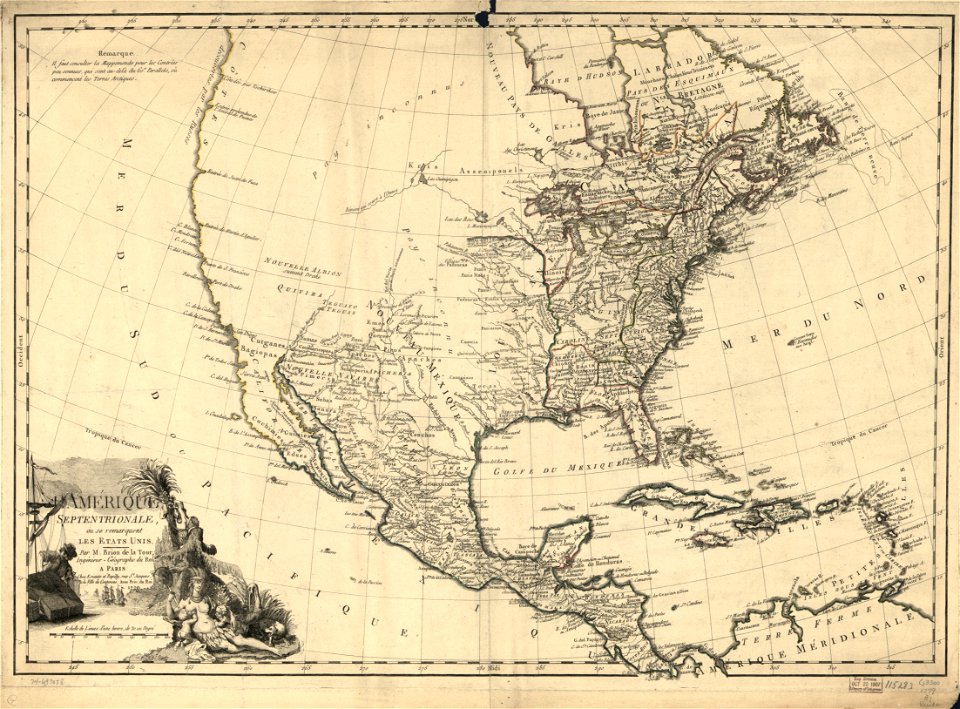
1788 maps of north america
maps in the library of congress
1783 maps of north america
maps in the library of congress
1783 maps of north america
maps in the library of congress
1788 maps of north america
maps in the library of congress
1783 maps of north america
maps in the library of congress
1783 maps of north america
maps in the library of congress
1779 maps of north america
maps in the library of congress
1779 maps of north america
maps in the library of congress
old maps of mexico
maps of the united states
karl bodmer
earth
maps
cartography
maps
maps by samuel de champlain
history of north america
australia
maps
images from the new york public library
francis d'avignon
french-language maps
gerard valck
maps by samuel de champlain
old maps of new france
atlante veneto (raremaps.com) volume 1
old maps of north america
pre-columbian cultures of north-america
1891 map
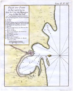
maps by jacques-nicolas bellin
jacques-nicolas bellin
old maps of north america from the norman b. leventhal map center
1755 maps of the united states
maps in the library of congress
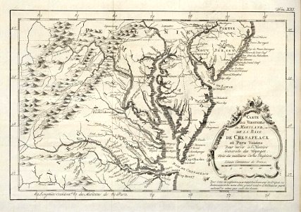
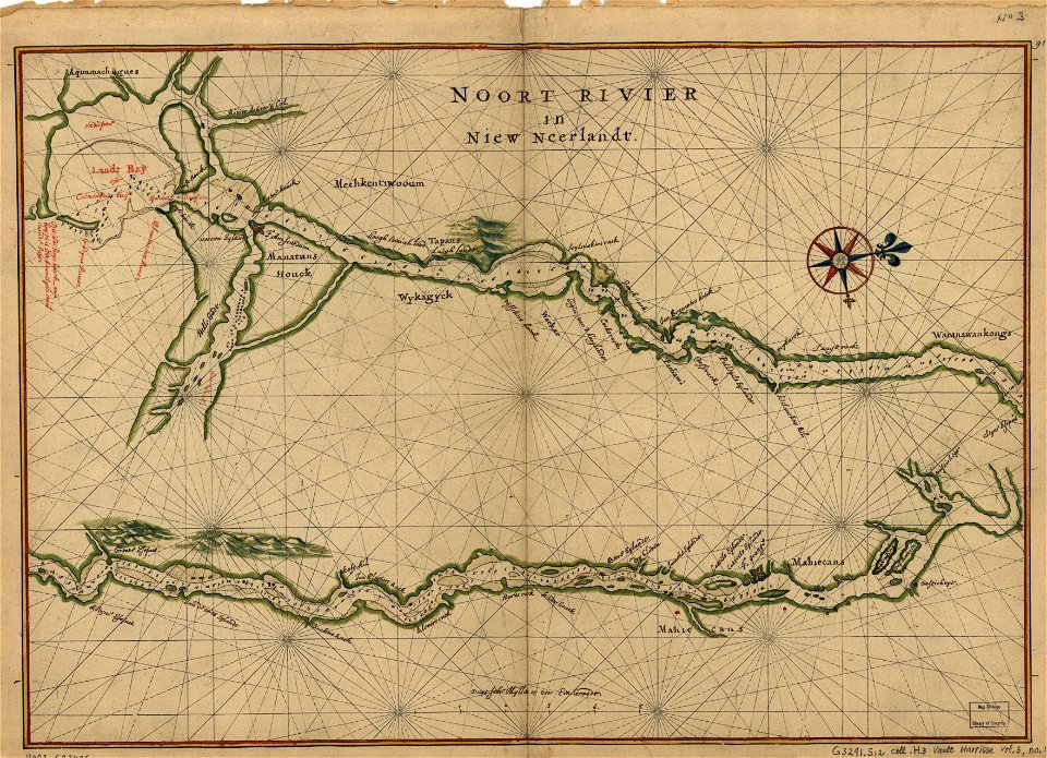
maps of the hudson
old maps of canada from the norman b. leventhal map center
maps of the french and indian war
islands of california
berger collection
maps in the library of congress
1782 maps of north america
space
maps
maps of the united states
maps in the library of congress
1782 maps of north america
historical images of arecaceae
old maps of north america
travel
maps
background
maps
background
maps
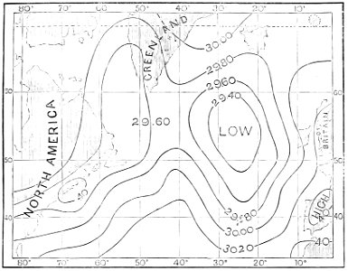
atmospheric circulation
1880 maps
continent
maps
space
maps
1 - 100 of 571
Next page
/ 6